
Cart 2 india
In2Cart
Rs. 0
0


Product Information
Specification
Brand : YellowMaps
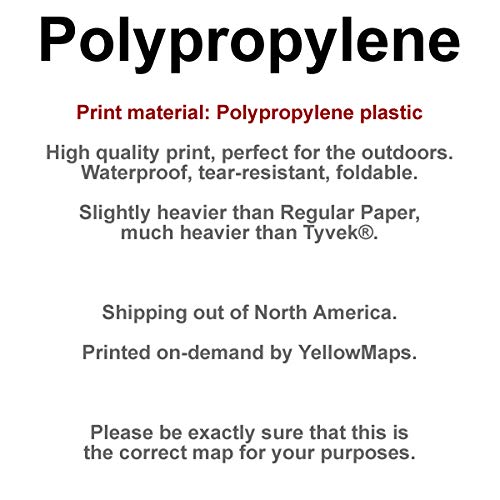
BulletPoint1 : Printed on Polypropylene (plastic)
BulletPoint2 : USGS topographic map of Lemmon, SD, at 1:250000 scale. Heavier material. Waterproof. Tear-resistant. Foldable. Perfect for the outdoors.
BulletPoint3 : Cities, towns, villages: Cedar Canyon,Harding,Gustave,White Butte,Hoover,Coal Springs,Zeona,Usta,Reva,Bison,Ludlow,Ellingson (historical),Redig,Chance,Shadehill,Mud Butte,Prairie City,Lodgepole,Date,Ladner,Sorum,Imogene,Haynes,Strool,Petrel,Buffalo,Haley,Ralph,Bixby,Summerville,Maurine,Camp Crook,North Lemmon,Faith,Karinen,Lemmon,Meadow
BulletPoint4 : Islands: Consult topo map preview for visible islands.
BulletPoint5 : Parks and forests: Sorum Dam State Game Production Area,Grand River National Grassland,Mallula State Game Production Area,Lemmon Lake State Game Production Area,State Experiment Farm and Antelope Reserve,Slim Butte Monument,Shadehill Reservoir State Recreation Area,Llewellyn Johns Memorial State Recreation Area,Ben Ash Historical Monument,Vobejda Lake State Game Production Area
Color : Polypropylene
ItemName : YellowMaps Lemmon SD topo map, 1:250000 Scale, 1 X 2 Degree, Historical, 1957, Updated 1957, 22 x 27.5 in - Polypropylene
ItemTypeKeyword : outdoor-recreation-topographic-maps
Manufacturer : USGS
MapType1 : Topographic
MapType2 : Recreation
MapType3 : Historical
PartNumber : USGS-5609132-POLY
ProductDescription : Printed on Polypropylene
ProductSiteLaunchDate : 2018-12-03T11:47:52.158Z
UnspscCode : 55101500