
Cart 2 india
In2Cart
Rs. 0
0


Product Information
Specification
Binding : paperback
Brand : Unknown
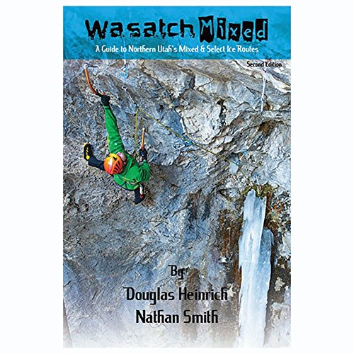
BulletPoint : WASATCH MIXED 2ND ED
BulletPoint1 : Waterproof
BulletPoint2 : All Trails Tracked with Garmin GPS
Color : full color
Edition : 2nd
ExternallyAssignedProductIdentifier1 : 1593515278
ExternallyAssignedProductIdentifier2 : 9781593515270
Format1 : atlas
Format2 : folded_map
ItemName : Mount Hood National Forest Map - Waterproof
ItemPackageDimensions_Height : 0.762 centimeters
ItemPackageDimensions_Length : 10.922 centimeters
ItemPackageDimensions_Width : 21.082 centimeters
ItemPackageQuantity : 1
ItemTypeKeyword : outdoor-recreation-topographic-maps
Language : english
Language1 : english
Language2 : english
Manufacturer : Forest Service
MapScale : 500
MapType : Street
MapType1 : Travel
MapType2 : Recreation
ModelNumber : 2005
PaperFinish : matte
PaperSize : Letter
PartNumber : 0-9755299-1-9
ProductDescription : Applies to: Oregon. East of Gresham and Portland or Estacada travel into the forest, scenic drive along the Clackamas River or the White River, stay at the numerous campgrounds, and fish the rivers or in the lakes including Timothy Lake. Enjoy scenic driving from Gresham to Dallas along the Columbia River, visiting, camping, and hiking in the Columbia Gorge National Scenic Area, and scenic viewing the waterfalls along the way. This map shows camping and recreation areas, corrals, other Forest Service facilities, roads, water features, points of interest, color-coded surface management ownership, and township and range lines. This map covers the Mark O. Hatfield Wilderness, the Clackamas Wild and Scenic River, Fifteenmile Creek Wild and Scenic River, the Mount Hood Wilderness, Badger Creek Wilderness, Opal Creek Wilderness, Bull of the Woods Wilderness, Salmon Huckleberry Wilderness and the Salmon Wild and Scenic River. Forest roads and trails are clearly marked. Scale is 1/2" = 1 mile, 2005. Synthetic paper. Map is useful for OR Hunting Units 16, 41, and 42. 2003
ProductSiteLaunchDate : 2010-05-08T17:49:34-00:00
PublicationDate : 2003T
SubjectKeyword : 'map', 'guide', 'walking'
SubjectKeyword1 : adventure bike commute course day trip drive
SubjectKeyword2 : excursion expedition foray hike jaunt journey junket
SubjectKeyword3 : navigate outing overnight rand mcnally ride round
SubjectKeyword4 : roundabout run safari sail sightsee tour transit
SubjectKeyword5 : transit travel trek trip walk wander weekend
SupplierDeclaredDgHzRegulation : not_applicable
SupplierDeclaredDgHzRegulation1 : not_applicable
SupplierDeclaredDgHzRegulation2 : not_applicable
SupplierDeclaredDgHzRegulation3 : not_applicable
SupplierDeclaredDgHzRegulation4 : not_applicable
SupplierDeclaredDgHzRegulation5 : not_applicable
SupplierDeclaredHasProductIdentifierExemption : 1
UnspscCode : 55101500