Product Information
Specification
Brand : MEELYHOME
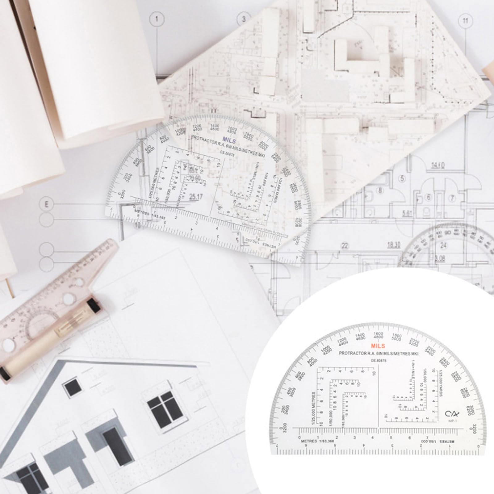
BulletPoint1 : Bottom line reads 1:25000meters and 3.3kilometers respectively.
BulletPoint2 : The second line reads 3kilometers at the verification meter and 1:63360meters respectively.
BulletPoint3 : Half shaped, with an outer of 0-6400miles and 0-360degrees.
BulletPoint4 : Black transparent built-in scale printing, 1.2mm thickness.
BulletPoint5 : It is a teaching and training accessory for schools, training and other majors.
Color : As Shown in the Picture
ExternallyAssignedProductIdentifier : 7626937523271
ExternallyAssignedProductIdentifier1 : 0787639153665
ExternallyAssignedProductIdentifier2 : 787639153665
ItemName : MEELYHOME Military Protractor Coordinate Scale for Topographical Map Reading and Land Navigation Map Reading Ruler, 15.24*9.3*0.2cm, As Shown in the Picture
ItemPackageDimensions_Height : 0.79 inches
ItemPackageDimensions_Length : 11.42 inches
ItemPackageDimensions_Width : 3.15 inches
ItemPackageQuantity : 1
ItemTypeKeyword : construction-protractors
Manufacturer : hwdjiSW
Material : Plastic
Material1 : Wood
Material2 : Stainless Steel
Material3 : Copper
ModelNumber : 19894
PartNumber : 10SC400764
ProductDescription : Features: Bottom line reads 1:25000meters and 3.3kilometers respectively. The second line reads 3kilometers at the verification meter and 1:63360meters respectively. Half shaped, with an outer of 0-6400miles and 0-360degrees. Black transparent built-in scale printing, 1.2mm thickness. It is a teaching and training accessory for schools, training and other majors. Specifications: Material:ABS Note: Please allow 1mm errors due to manual measurement. Due to the difference between different monitors, the picture may not reflect the actual color of the item. Package includes: 1x Map Coordinate Scale
ProductSiteLaunchDate : 2024-05-22T01:14:45.944Z
Size : 15.24*9.3*0.2cm
Style : Square
SupplierDeclaredDgHzRegulation : not_applicable
UnitCount : 1


