


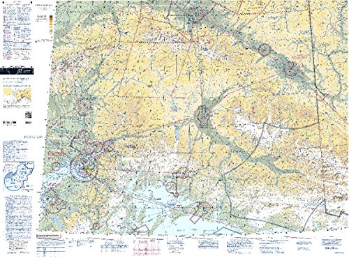
FAA Chart: VFR TAC ANCHORAGE TANC (Current Edition
₹4270 -32% ₹2900/-

ASA AMT Log Book
₹8530 -32% ₹5800/-
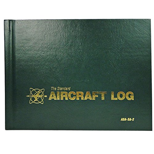
ASA Aircraft Logbook (Green, Soft cover)
₹6460 -38% ₹4000/-
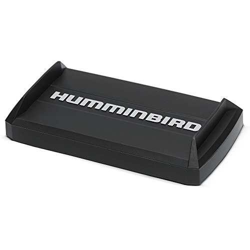
Humminbird 780036-1 Humminbird 780036-1 UC H7 PR U
₹17310 -37% ₹10900/-

Gleim Deluxe Instrument Pilot Kit
₹112230 -37% ₹70700/-

Piper Warrior II,PA-28 161 Compact size CheckMate
₹9200 -38% ₹5700/-

Piper Twin Comanche ,PA-30/39 Standard size CheckM
₹15490 -38% ₹9600/-

Cessna 182 E-M Standard size CheckMate
₹15080 -35% ₹9800/-
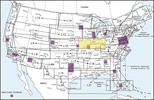
FAA Chart: Enroute Low Altitude L27/28 ELUS27 (Cur
₹6400 -39% ₹3900/-

FAA Chart: VFR TAC PITTSBURGH TPIT (Current Editio
₹5000 -40% ₹3000/-
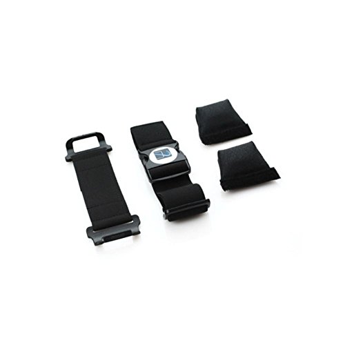
AppStrap 5 for smaller cases and devices- AS-5(S)
₹18260 -37% ₹11500/-
FAA Chart: VFR Sectional ANCHORAGE SANC (Current E
₹5450 -32% ₹3700/-

Gleim Commercial Pilot Training Record
₹8880 -38% ₹5500/-
Mooney M20M Bravo Standard size CheckMate
₹9420 -32% ₹6400/-

AIRPATH COMPASS REPAIR KITS - DEVIATION CARD HOLDE
₹4290 -37% ₹2700/-

ASA KB-3I-A Tri-Fold IFR Kneeboard with Clipboard
₹23740 -33% ₹15900/-

Standard Pilot Master Log Book (Standard Pilot Log
₹12630 -39% ₹7700/-

Piper Warrior III,PA-28 Standard size CheckMate
₹12970 -36% ₹8300/-

Gleim Padded Flight Bag
₹20820 -39% ₹12700/-
Mooney M20F Standard size CheckMate
₹9280 -31% ₹6400/-
Piper Twin Comanche ,PA-30/39 Compact size CheckMa
₹15610 -34% ₹10300/-

FAA Chart: VFR TAC CHICAGO TCHI (Current Edition)
₹4670 -40% ₹2800/-
Piper Cherokee 140,PA-28 w/180hp Compact size Chec
₹13970 -37% ₹8800/-

Mooney M20S Eagle Compact size CheckMate
₹9200 -38% ₹5700/-
Mooney M20E Super 21 Compact size CheckMate
₹8360 -33% ₹5600/-

Cirrus SR20 G3 Qref Checklist Card
₹6970 -34% ₹4600/-

ASA Cessna 172 Guide +
₹8230 -38% ₹5100/-
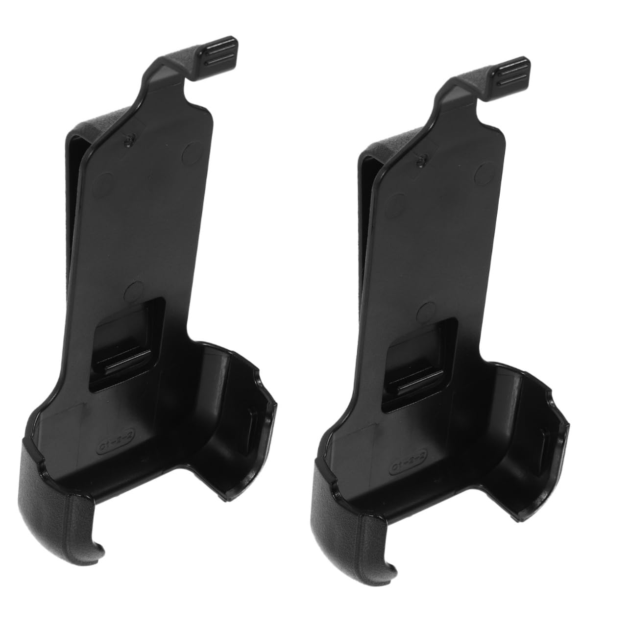
VICASKY 4pcs Interphone Clip for Kailic Versatile
₹6200 -37% ₹3900/-

Aero Pheonix Adjustable IFR Training Glasses - Bla
₹9520 -38% ₹5900/-
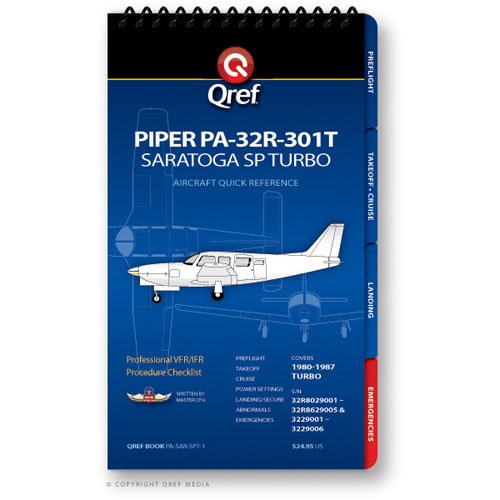
Piper Saratoga SP Turbo PA-32R-301T Checklist Book
₹12360 -32% ₹8400/-