
Cart 2 india
In2Cart
Rs. 0
0


Product Information
Specification
Binding : apparel
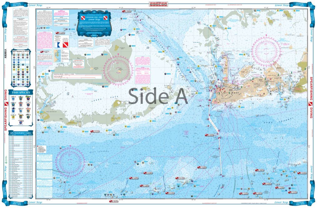
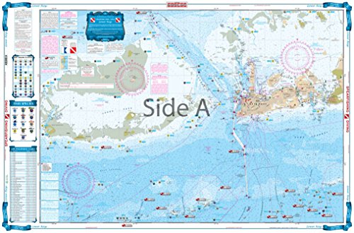
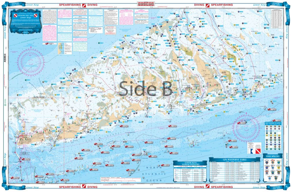
Brand : Waterproof Charts
BulletPoint1 : Waterproof Charts 7F Lower Keys
BulletPoint2 : Fishing offshore fish & Dive
BulletPoint3 : Manufactured in United States
BulletPoint4 : Meets U. S. and international carriage requirements for commercial vessels
BulletPoint5 : U. S. Coast Guard approved
Color : full color
ExternallyAssignedProductIdentifier : 7552045906722
ExternallyAssignedProductIdentifier1 : 740399000761
ExternallyAssignedProductIdentifier2 : 0740399000761
ExternallyAssignedProductIdentifier3 : 00740399000761
ImportDesignation : Made in USA
IncludedComponents : fishing-charts-and-maps
ItemName : Waterproof Charts 7F Lower Keys
ItemPackageDimensions_Height : 1 inches
ItemPackageDimensions_Length : 13.8 inches
ItemPackageDimensions_Width : 7 inches
ItemPackageQuantity : 1
ItemShape : Rectangle
ItemTypeKeyword : fishing-charts-and-maps
Manufacturer : Big Rock Sports
MapType : Marine
Material : Polypropylene
Material1 : Plastic
Material2 : Iron
ModelName : 7F
ModelNumber : 7F
NumberOfItems : 1
PaperFinish : smooth
PaperSize : 25 x 38 inches
PartNumber : 7F
ProductDescription : An exceptionally clear, uncluttered, and easy to use chart. Side one has great detailed coverage of the south side of Cape Cod and Nantucket Sound with major sportfish grounds highlighted. Over 60 GPS Waypoints on this side guide you to fishing grounds, wrecks and navigation markers. Each waypoint is accurately plotted on the chart with its local name so you can see the relative position and plan your trip. The reverse side shows the offshore grounds from over 40 miles south of Martha's Vineyard east to Little Georges Bank and north to the New HampshireMaine border with over 90 plotted positions for sportfish grounds, wrecks, and navigation buoys. Includes both Stellwagen Bank and Jefferys Ledge. Over 150 total GPS coordinates. Information from 2 NOAA charts 13237 and 13009. WGS84-World Mercator Datum. 25" x 38"
ProductSiteLaunchDate : 2010-03-05T18:06:21.000-00:00
Style : Portable
SupplierDeclaredDgHzRegulation : not_applicable
TheatricalReleaseDate : 2023-09-20T09:40:06.000-07:00
UnitCount : 1
UnspscCode : 43211700