
Cart 2 india
In2Cart
Rs. 0
0


Product Information
Specification
Binding : map
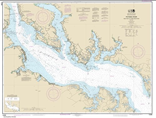
Brand : UKHO
BulletPoint : Laminated Fishing Chart
BulletPoint1 : Corrected up to the latest notice to mariner at the point of sale.
BulletPoint2 : Meets U. S. and international carriage requirements for commercial vessels defined in SOLAS Chapter V Regulation 19.2.1.2421
BulletPoint3 : U. S. Coast Guard approved
BulletPoint4 : Produced by the United Kingdom Hydrographic Office. One of the world's leading producers of nautical charts.
Color : full color
ExternallyAssignedProductIdentifier1 : 0852680603107
ExternallyAssignedProductIdentifier2 : 852680603107
Format : folded_map
ItemDisplayDimensions_Length : 42 inches
ItemDisplayDimensions_Width : 28 inches
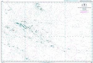
ItemName : UKHO BA Chart 4607: outh Pacific Ocean, South East Polynesia
ItemPackageQuantity : 1
ItemTypeKeyword : fishing-charts-and-maps
Language : english
Manufacturer : United Kingdom Hydrographic Office
MapScale : 1:24,000
MapType : Nautical
MapType1 : Recreation
MapType2 : Trail
PaperFinish : matte
PaperSize : 35.2 x 46.7 inches
PartNumber : NOAA12286
ProductDescription : Admiralty standard nautical charts comply with Safety of Life at Sea (SOLAS) regulations and are ideal for professional, commercial and recreational use. Charts within the series consist of a range of scales, useful for passage planning, ocean crossings, coastal navigation and entering port. Mariners should always use the largest scale nautical chart appropriate to their needs. In particularly busy seaways such as the English Channel, Gulf of Suez and the Malacca and Singapore Straits, the standard nautical charts are supplemented by mariners' routeing guides which provide advice on route planning in these complex areas. Admiralty nautical charts are corrected to the latest notice to mariners (NTM) by our trained cartographer at the point of sale. It is the mariner's responsibility to maintain and correct the chart onwards to be in compliance with SOLAS regulations and to ensure safe navigation.
ProductSiteLaunchDate : 2014-04-24T19:53:49.275Z
PublicationDate : 2017-06-26T00:00:00.000-07:00
Size : 12" x 18"
SupplierDeclaredDgHzRegulation : not_applicable
UnspscCode : 55101500