
Cart 2 india
In2Cart
Rs. 0
0


Product Information
Specification
Binding : apparel
Brand : UKHO
BulletPoint : Laminated Fishing Chart
BulletPoint1 : Corrected up to the latest notice to mariner at the point of sale.
BulletPoint2 : Meets U. S. and international carriage requirements for commercial vessels defined in SOLAS Chapter V Regulation 19.2.1.2353
BulletPoint3 : U. S. Coast Guard approved
BulletPoint4 : Produced by the United Kingdom Hydrographic Office. One of the world's leading producers of nautical charts.
BulletPoint5 : Handy 8.5 x 11 inch size. Page count varies depending on the chart.
Color : blue ocean
ExternallyAssignedProductIdentifier1 : 0852680602421
ExternallyAssignedProductIdentifier2 : 852680602421
ItemDisplayDimensions_Length : 42 inches
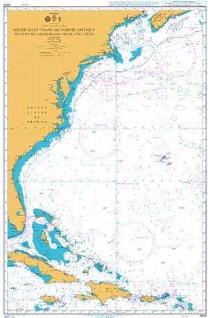
ItemName : UKHO BA Chart 4403: South East Coast of North America Including The Bahama Islands and Greater Antilles
ItemPackageQuantity : 1
ItemTypeKeyword : fishing-charts-and-maps
Manufacturer : United Kingdom Hydrographic Office
MapType : Navigational
NumberOfItems : 1
PaperFinish : matte
PaperFinish1 : matte
PaperFinish2 : smooth
PaperSize : 112 x 89 inches
PartNumber : NOAA11548
ProductDescription : Admiralty standard nautical charts comply with Safety of Life at Sea (SOLAS) regulations and are ideal for professional, commercial and recreational use. Charts within the series consist of a range of scales, useful for passage planning, ocean crossings, coastal navigation and entering port. Mariners should always use the largest scale nautical chart appropriate to their needs. In particularly busy seaways such as the English Channel, Gulf of Suez and the Malacca and Singapore Straits, the standard nautical charts are supplemented by mariners' routeing guides which provide advice on route planning in these complex areas. Admiralty nautical charts are corrected to the latest notice to mariners (NTM) by our trained cartographer at the point of sale. It is the mariner's responsibility to maintain and correct the chart onwards to be in compliance with SOLAS regulations and to ensure safe navigation.
ProductSiteLaunchDate : 2014-04-24T19:51:15.384Z
Size : 12" x 18"
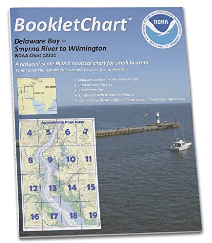
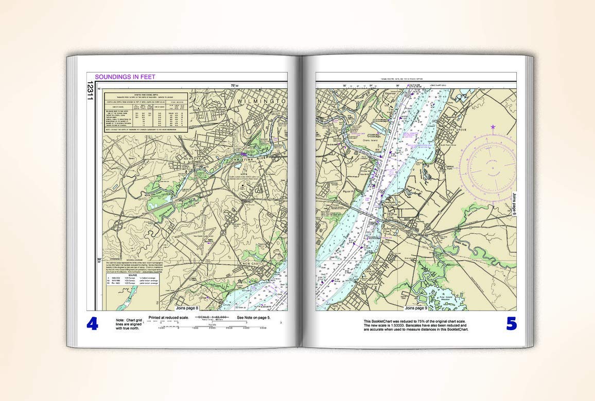
Style : BookletChart
UnspscCode : 55101500