
Cart 2 india
In2Cart
Rs. 0
0


Product Information
Specification
Binding : apparel
Brand : NOAA
BulletPoint : Laminated Fishing Chart
BulletPoint1 : Printed on high quality water-resistant paper
BulletPoint2 : Always printed on demand using the most recent data from NOAA
BulletPoint3 : Prepared to be display quality. Arrives rolled, not folded.
BulletPoint4 : Meets U. S. and international carriage requirements for commercial vessels
BulletPoint5 : U. S. Coast Guard approved
Color : full color
ExternallyAssignedProductIdentifier1 : 0760999956657
ExternallyAssignedProductIdentifier2 : 760999956657
ExternallyAssignedProductIdentifier3 : 00740399003823
ImportDesignation : Made in USA
IncludedComponents : fishing-charts-and-maps
ItemDisplayDimensions_Length : 25 inches
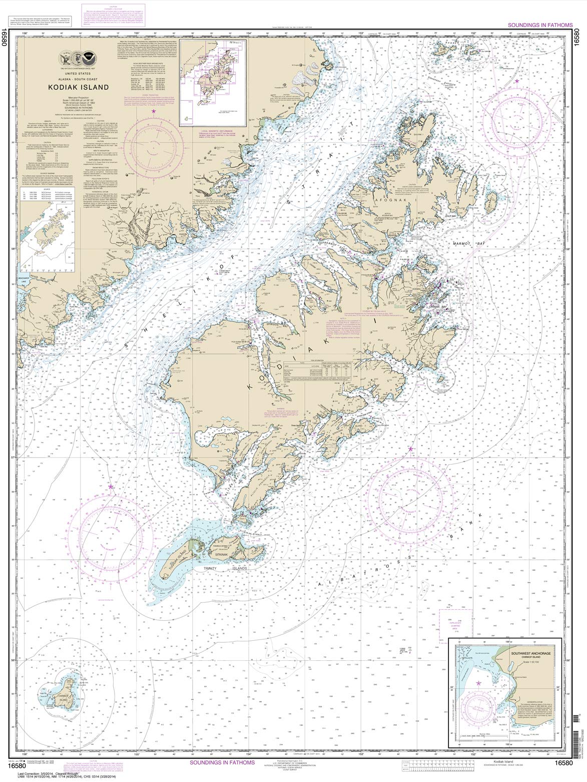
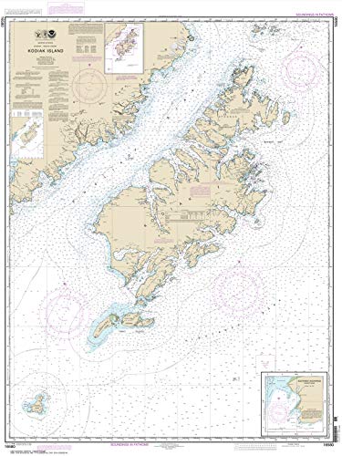
ItemName : NOAA Chart 16580: Kodiak Island; Southwest Anchorage: Chirikof Island 21.00 x 27.94 (Small Format Waterproof)
ItemPackageDimensions_Height : 64.2 centimeters
ItemPackageDimensions_Length : 2.9 centimeters
ItemPackageDimensions_Width : 3.6 centimeters
ItemPackageQuantity : 1
ItemShape : Rectangular
ItemTypeKeyword : fishing-charts-and-maps
Manufacturer : Paradise Cay Publications
MapType : Travel
Material : Paper
ModelName : 38B
ModelNumber : 38B
MountingType : Wall Mount
NumberOfItems : 1
Orientation : Landscape
PaintType : Watercolor
PaperFinish : smooth
PaperSize : 21.00 x 27.94 inches
PartNumber : 64
Pattern : Printed
ProductDescription : A creative combination of government charts allows coverage of all of Cape Cod on a single side, from Provincetown south to Nantucket and west to Falmouth. Large print place names make areas and towns very easy to find. GPS Waypoints are printed directly on the chart. The reverse side has 10 enlarged blow ups for the following habors: Chatham and Pleasant Bay, South Yarmouth, West Dennis and Harwich Port, Barnstable, Wellfleet, Woods Hole and Falmouth, Hyannis, Plymouth and Provincetown. An excellent color key makes these insets easy to find. Information from 8 different NOAA Charts: #13246, #13237, #13248, #13229, #13250, #13249, #13251, and #13253. Chart is 25" X 38". WGS84 - World Mercator Datum.
ProductSiteLaunchDate : 2014-10-10T07:00:00.000Z
RulingType : Squared
ShipsGlobally : 1
Size : 19.5" x 26.5"
Style : Traditional
SubjectKeyword : 'subject', 'specific', 'map', 'season', 'fishing'
SupplierDeclaredDgHzRegulation : not_applicable
TargetGender : unisex
Theme : Traditional
UnitCount : 1
UnspscCode : 55101500