
Cart 2 india
In2Cart
Rs. 0
0


Product Information
Specification
Binding : map
Brand : NOAA
BulletPoint1 : Printed on high quality waterproof and tear-resistant material
BulletPoint2 : Always printed on demand using the most recent NOAA data
BulletPoint3 : Prepared to be display quality. Arrives rolled, not folded.
BulletPoint4 : Small Format charts DO NOT satisfy USCG CARRIAGE REQUIREMENTS
BulletPoint5 : Printed by East View Geospatial. Map scale: 1:100,000. Map size (inches): 45.7 x 32.8.
Color : full color
ExternallyAssignedProductIdentifier1 : 0612524307567
ExternallyAssignedProductIdentifier2 : 612524307567
Format : folded_map
ImportDesignation : Made in the USA
ItemDisplayDimensions_Length : 27.19 inches
ItemDisplayDimensions_Width : 21 inches
ItemDisplayWeight : 2 pounds
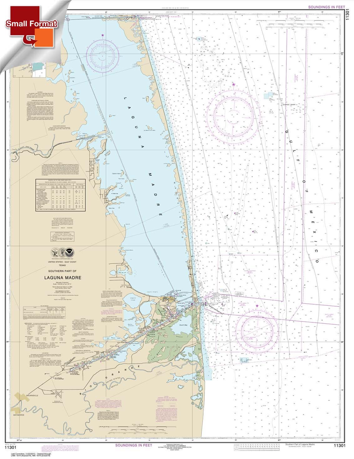
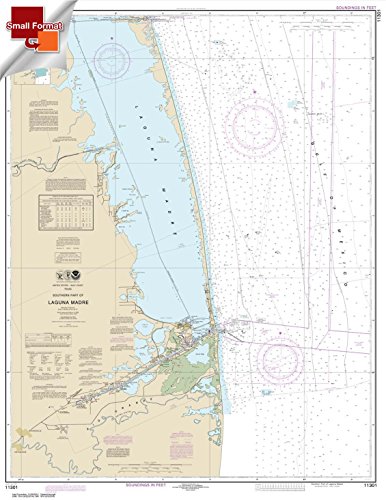
ItemName : NOAA Chart 11301: Southern Part of Laguna Madre 21.00 x 27.19 (Small Format Waterproof)
ItemPackageDimensions_Height : 0.1 inches
ItemPackageDimensions_Length : 11 inches
ItemPackageDimensions_Width : 8.5 inches
ItemPackageQuantity : 1
ItemTypeKeyword : fishing-charts-and-maps
Language : english
Manufacturer : Paradise Cay Publications
MapScale : 1:24,000
MapType : Navigation
ModelNumber : TROUT & SALMON I.D. CHART #11
NumberOfItems : 1
NumberOfPieces : 1
PaperFinish : matte
PaperFinish1 : matte
PaperFinish2 : smooth
PaperSize : 45.7 x 32.8 inches
PartNumber : NO_11301SF
ProductDescription : East View Geospatial (EVG) is a certified NOAA and NGA print on demand printer. Our nautical charts are printed using high resolution images. All NOAA nautical charts are printed by East View Geospatial.
NOAA-OCS cancelled this Raster and PDF chart. The product will NOT meet U.S. and international carriage requirements for commercial vessels defined in SOLAS Chapter V Regulation 19.2.1.
Printed on heavy weight acid free paper.Printed by East View Geospatial. Map scale: 1:100,000. Map size (inches): 45.7 x 32.8.
ProductSiteLaunchDate : 2014-07-30T23:23:05.124Z
PublicationDate : 2017-10-19T00:00:00.000-07:00
Style : Small Format
TargetSpecies1 : Trout
TargetSpecies2 : Salmon
UnitCount : 1
UnspscCode : 60101700