
Cart 2 india
In2Cart
Rs. 0
0


Product Information
Specification
Binding : map
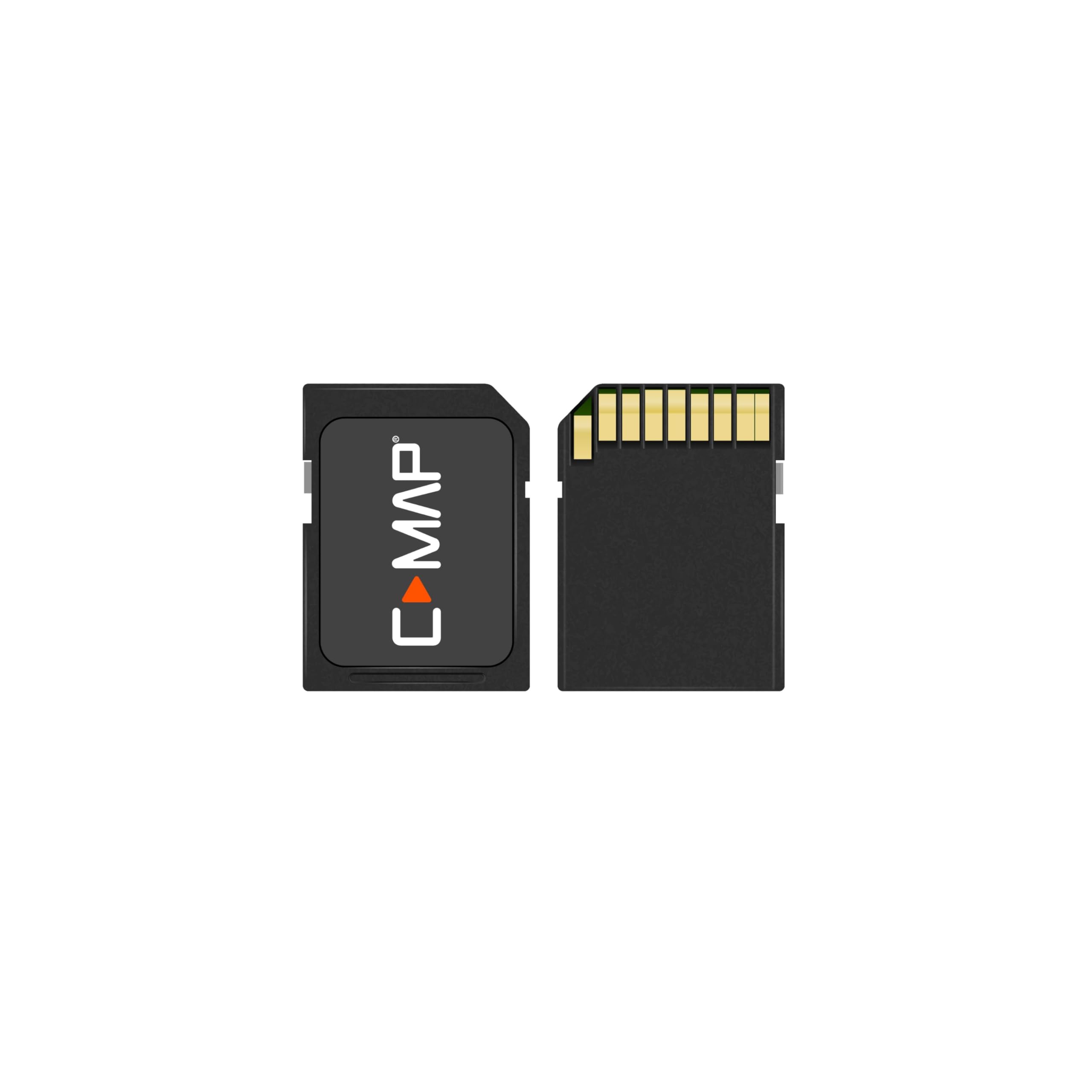
Brand : C-MAP
BulletPoint : Maptech WPC034, MAPWPC034
BulletPoint1 : Shaded Relief Reveal Layer
BulletPoint2 : Satellite Imagery
BulletPoint3 : Full-Featured Vector Charts
BulletPoint4 : Hi-Resolutions Bathymetry
BulletPoint5 : Custom Depth Shading
Color : full color
CompatibleDevices1 : Simrad NSX
CompatibleDevices2 : Simrad NSX Ultrawide
CompatibleDevices3 : B&G Zeus S
ControlMethod : touch
ExternallyAssignedProductIdentifier : 9420064129195
ExternallyAssignedProductIdentifier1 : 0022302008034
ExternallyAssignedProductIdentifier2 : 022302008034
ExternallyAssignedProductIdentifier3 : 00740399000402
Format : folded_map
HasColorScreen : 1
HumanInterfaceInput : touch_screen
ImportDesignation : Made in USA
IncludedComponents : fishing-charts-and-maps
IncludedComponents1 : MicroSD Card
IncludedComponents2 : SD Card adapter
ItemDisplayWeight : 0.15 pounds
ItemName : C-MAP® Reveal™ X - US Lakes - South East
ItemPackageDimensions_Height : 22.3 centimeters
ItemPackageDimensions_Length : 18.4 centimeters
ItemPackageDimensions_Width : 19 centimeters
ItemPackageQuantity : 1
ItemShape : Rectangular
ItemTypeKeyword : fishing-charts-and-maps
Language : english
Manufacturer : C-MAP
MapScale : 1:24,000
MapType : US Lakes - South East
Material : polypropylene
ModelName : Reveal X
ModelNumber : M-NA-T-214-R-MS
ModelYear : 2022
MountingType : Dashboard Mount
NumberOfItems : 1
NumberOfPieces : 1
PackageLevel : unit
PaperFinish : premium_glossy
PaperSize : Letter
PartNumber : M-NA-T-214-R-MS
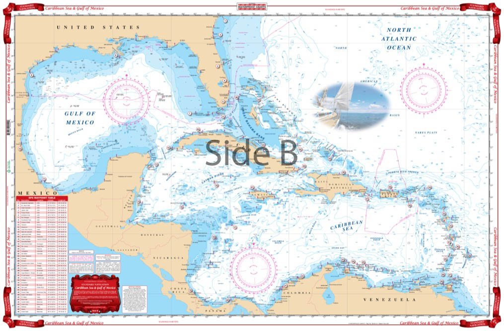
ProductDescription : Navesink and Shrewsbury rivers, Barnegat Bay, and Beach Haven, Little Egg, Brigantine, and Absecon inlets. Featuring GPS Waypoints, courses and distances, and fishing and wreck sites. 14" x 60", scale 1:50,000 ISBN: 0-7436-0847-X
ProductSiteLaunchDate : 2024-09-11T16:56:50.835Z
PublicationDate : 2017-12-10T00:00:00.000-08:00
Size : 12" x 18"
Style : Modern
SupplierDeclaredDgHzRegulation : not_applicable
SupportedSatelliteNavigationSystem : gps
TouchScreenType : Capacitive
UnitCount : 1
UnspscCode : 25173107
WarrantyDescription : 2 year manufacturer