
Cart 2 india
In2Cart
Rs. 0
0


Product Information
Specification
Binding : miscellaneous
Brand : Art to Media
BulletPoint : 12" x 18"
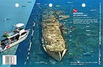
BulletPoint1 : Benwood, Key Largo, Florida
BulletPoint2 : Reef Site Card Dive Map of this shipwreck is a waterproof thick plastic card 8 1/2 x 5 1/2 inches with high quality graphics printed on both sides.
BulletPoint3 : Includes site details, depths, currents, GPS coordinates in DDMM.MMM format, distance from nearest port, and other pertinent information which varies by site.
BulletPoint4 : Great planning tool for diving, snorkeling, spearfishing and fishing.
BulletPoint5 : 3-Hole Punched for Log Book or Lanyard when Underwater
Color : full color
ExternallyAssignedProductIdentifier : 4539625190668
ExternallyAssignedProductIdentifier1 : 1897447485
ExternallyAssignedProductIdentifier2 : 9781897447482
Format : folded_map
ItemName : Art to Media Dive Map - Benwood
ItemPackageDimensions_Height : 21.6 centimeters
ItemPackageDimensions_Length : 0.1 centimeters
ItemPackageDimensions_Width : 13.2 centimeters
ItemPackageQuantity : 1
ItemShape : rectangle
ItemTypeKeyword : fishing-charts-and-maps
Language : english
Manufacturer : Art to Media
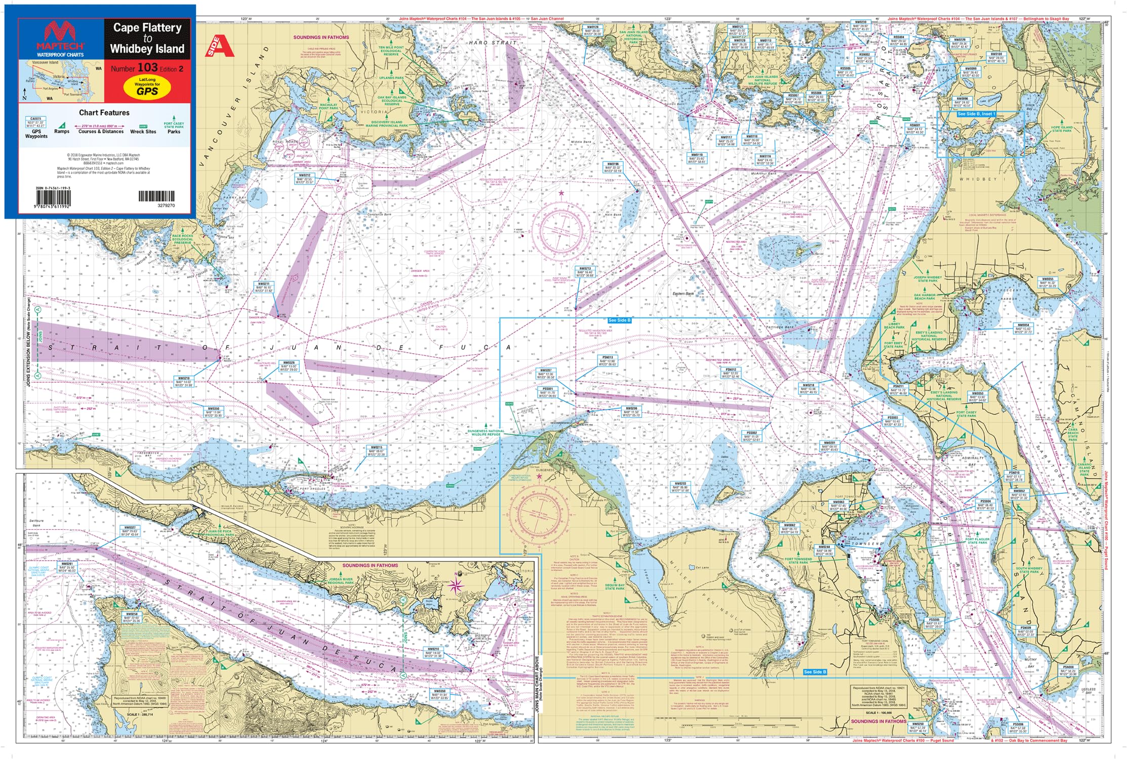
MapScale : 106,600 and 1:53,300 with insets
MapType1 : Recreation
MapType2 : Navigational
Material : Plastic
ModelName : #QU105-005
MountingType : Wall Mount
NumberOfItems : 1
NumberOfPieces : 1
Orientation : Landscape
PaintType : Watercolor
PaperFinish : glossy
PaperSize : 8.5 x 5.5 inches
PartNumber : WPC103-02
Pattern : Printed
ProductDescription : The 344 feet long by 51 feet wide Norwegian Freighter Benwood was built in 1910 and sunk in 40 feet of water off Key Largo, Florida in 1942.
Reef Site Cards, also called 3D Dive Site Maps, are a handy tool for divers, snorkelers, anglers and boaters. Anglers can see on these very detailed cards the reef site structure to learn the best way to fish a site. Divers get important details to make the most of their bottom time. Snorkelers can take the cards with them into the water and learn about what they are seeing from above.
ProductSiteLaunchDate : 2016-01-29T08:00:00.000Z
PublicationDate : 2018T
Size : 48L" x 36W"
Style : Retro
SupplierDeclaredDgHzRegulation : not_applicable
TargetGender : unisex
Theme : NOAA
UnspscCode : 55101500