
Cart 2 india


In2Cart
Rs. 0

0


Product Information
Specification
Binding : apparel
Brand : Waterproof Charts
BulletPoint : Waterproof Charts 50, CHRT50
BulletPoint1 : Waterproof Charts 40 Lake
BulletPoint2 : Ponchartrain to gulfport standard
BulletPoint3 : Navigation, Navigation
BulletPoint4 : Meets U. S. and international carriage requirements for commercial vessels
BulletPoint5 : U. S. Coast Guard approved
ExternallyAssignedProductIdentifier1 : 0740399005001
ExternallyAssignedProductIdentifier2 : 740399005001
ExternallyAssignedProductIdentifier3 : 00740399004004
ImportDesignation : Made in USA
IncludedComponents : fishing-charts-and-maps
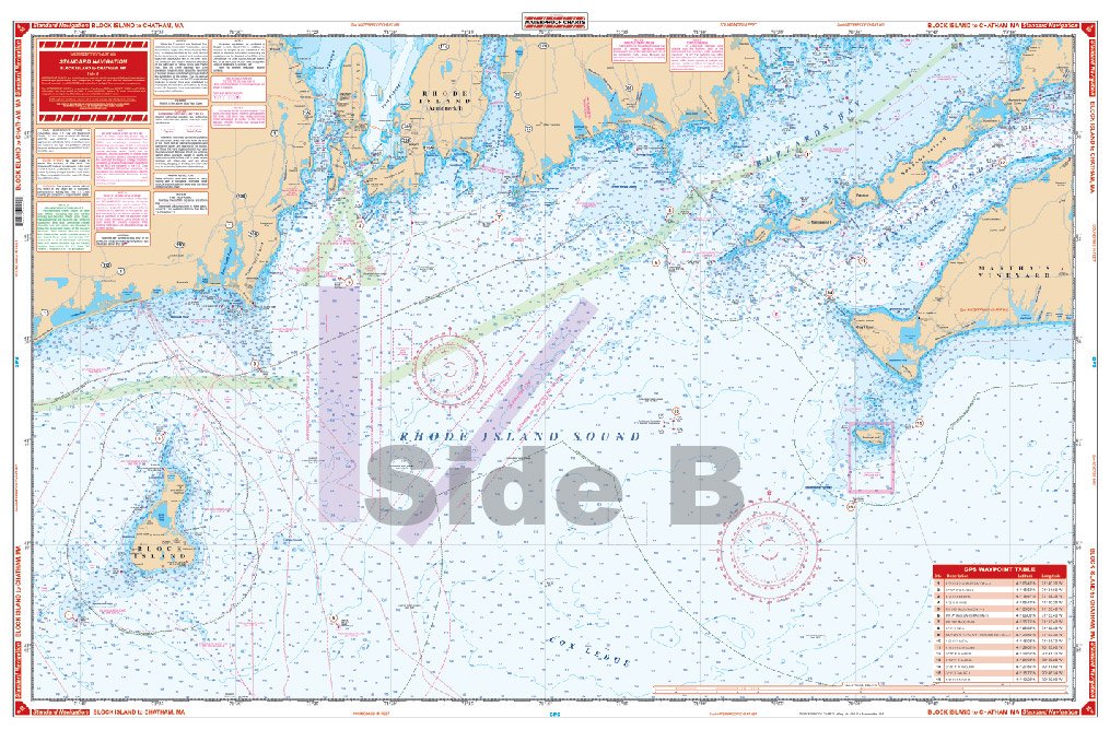
ItemName : 050: Block Island to Chatham, MA
ItemPackageDimensions_Height : 63.6 centimeters
ItemPackageDimensions_Length : 2.9 centimeters
ItemPackageDimensions_Width : 3.3 centimeters
ItemPackageQuantity : 1
ItemShape : Rectangle
ItemTypeKeyword : fishing-charts-and-maps
Manufacturer : Waterproof Charts
Material : Polypropylene
ModelName : 40
ModelNumber : 40
NumberOfItems : 1
PartNumber : 50
ProductDescription : Americas most popular recreational charts!
Designed for recreational boaters, fishermen and divers. Because Waterproof Charts use only high quality synthetic paper and inks, they look great and really last - Use them on deck in any weather rain or spray! Both the Coast Guard and Navy rely on these charts for accuracy, yet they are designed for simple use with GPS by the average boater. The durable charts are foldable and easy to hold and store. Plus, Waterproof Charts are so tear resistant you simply cannot ruin them!
ProductSiteLaunchDate : 2010-03-05T18:05:14.000-00:00
ShipsGlobally : 1
Size : Large
SupplierDeclaredDgHzRegulation : not_applicable
SupplierDeclaredDgHzRegulation1 : not_applicable
SupplierDeclaredDgHzRegulation2 : not_applicable
SupplierDeclaredDgHzRegulation3 : not_applicable
SupplierDeclaredDgHzRegulation4 : not_applicable
SupplierDeclaredDgHzRegulation5 : not_applicable
UnspscCode : 60101700
